When it comes to managing water resources, the abundance of data collected by satellites can be overwhelming. While these satellites offer vital information about our oceans, lakes, rivers, and streams, extracting actionable insights can be a daunting task. One of the main challenges faced by water managers is the trade-off between high spatial and high temporal resolutions in the data provided by current satellites. This poses a significant obstacle in accurately monitoring water resources and predicting changes over time.
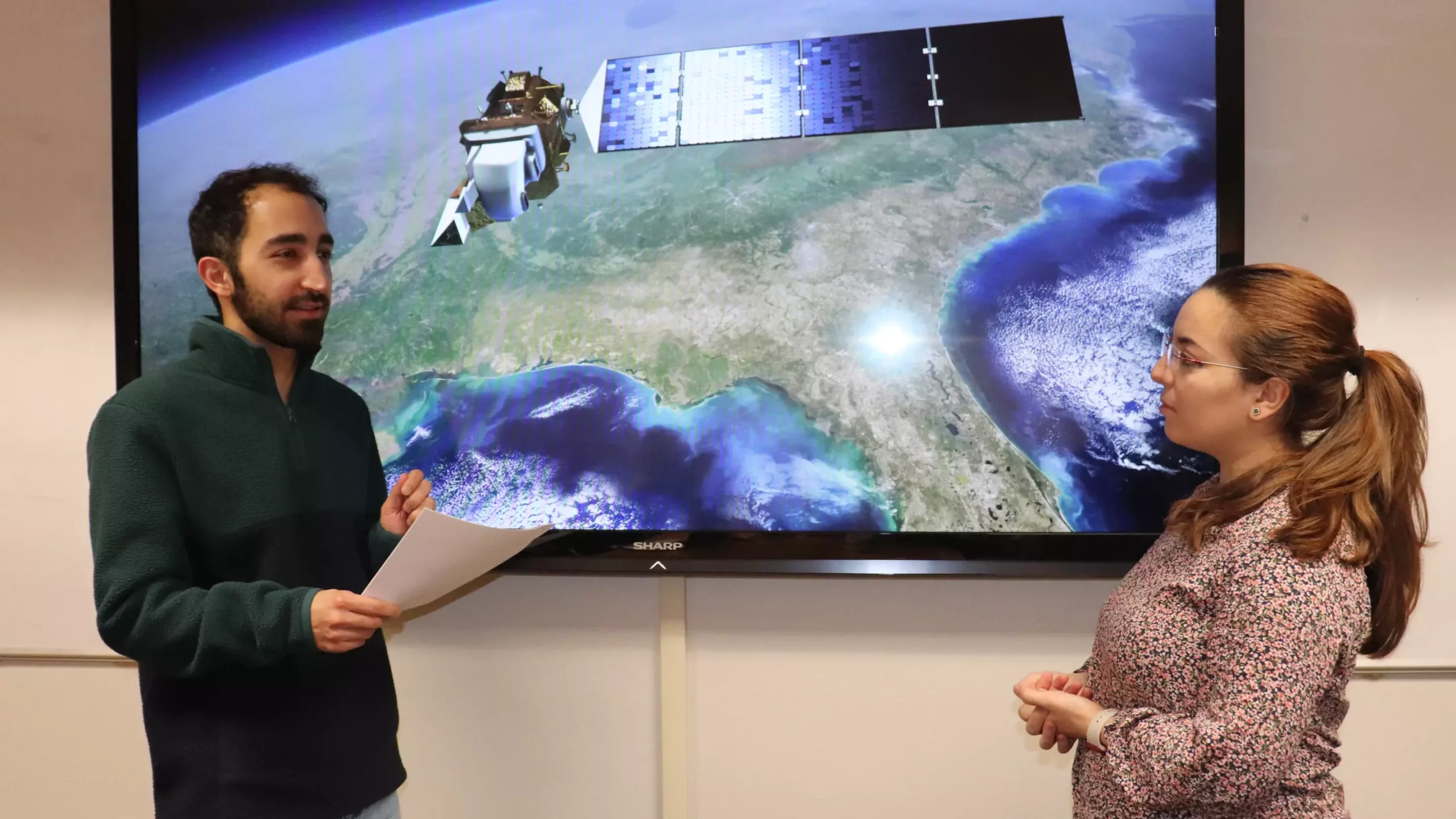
In response to these challenges, Utah State University computer scientist Pouya Hosseinzadeh, along with his colleagues, developed a groundbreaking solution – the Hydrological Generative Adversarial Network, also known as Hydro-GAN. This innovative machine learning-based method aims to bridge the gap between low-resolution and high-resolution satellite data. By integrating data from satellites such as MODIS and Landsat 8, Hydro-GAN generates new data samples that enhance the resolution of water boundaries, providing more accurate information for water resource management tasks.
Case Study: Lake Tharthar
To demonstrate the effectiveness of Hydro-GAN, the team conducted a case study on Lake Tharthar, a saltwater lake in Iraq. By utilizing seven years of data from MODIS and Landsat 8, the researchers were able to evaluate the model’s performance in predicting the lake’s shrinking and expansion behaviors. This information is invaluable for hydrologists and environmental scientists in the region, who rely on accurate data to monitor seasonal dynamics and make informed decisions about sustaining the lake’s water supply.
The success of Hydro-GAN in enhancing predictions and generating high-resolution data at historical time steps opens up a wealth of possibilities for future applications. By incorporating a multi-modal approach that includes additional data on topology, snow data amounts, streamflow, precipitation, temperature, and other climate variables, water managers can gain a more comprehensive understanding of water resources. This holistic approach to data analysis holds great promise for improving water management practices and ensuring the sustainable use of our planet’s precious water sources.
The integration of satellite data through innovative tools like Hydro-GAN marks a significant advancement in water resource management. By harnessing the power of machine learning and data fusion techniques, we can overcome the limitations of current satellite data and unlock new insights into the dynamics of our planet’s water bodies. As we continue to refine these methods and explore new technologies, we are paving the way for a more sustainable future where water resources are managed effectively and responsibly.
Leave a Reply