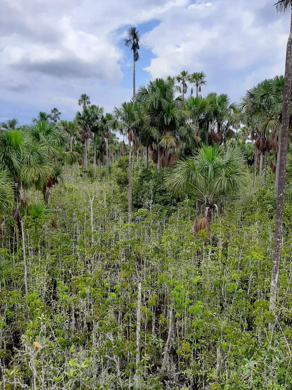
Researchers from the University of St Andrews in Scotland and Charles University in Prague have collaborated to develop a new data-driven map, revealing a significantly larger extent of peatlands in the Amazon basin than previously estimated. This high-resolution map provides valuable insights into the distribution of peatlands in the region, shedding light on their critical role in storing carbon and regulating the global climate.
The research team, led by Dr. Adam Hastie from Charles University, compiled data from over 2,400 ground reference points across the Amazon. By combining this data with satellite imagery and other environmental information, they were able to create a detailed map estimating that peatlands cover approximately 251,000 square kilometers of the Amazon Basin, an area larger than Belgium. This new map highlights the importance of field data collection in improving our understanding of peatland distribution and guiding future research and policy initiatives.
Peatlands are crucial ecosystems that store vast amounts of carbon and play a key role in regulating the global climate. However, these ecosystems are facing threats from climate change, deforestation, and agriculture. By accurately mapping the extent of peatlands in the Amazon Basin, researchers can identify areas at greatest risk and develop strategies to protect and sustainably manage these valuable ecosystems.
The new peatland map not only provides essential information for policymakers and researchers but also offers opportunities to strengthen relationships with local communities living in and around these ecosystems. By working with local communities, researchers can prevent irreversible damage to healthy peatlands and restore degraded areas. Additionally, the map guides new exploration of areas predicted to contain peat, allowing for capacity building of early career researchers and fostering international collaborations to implement new technologies for peat detection.
With a more comprehensive understanding of peatland distribution in the Amazon Basin, researchers can now focus on studying the role these ecosystems play in the region’s overall health and function. This knowledge is crucial for informing conservation strategies that not only protect peatlands but also the diverse species and ecological processes that depend on them. The new map will serve as a valuable tool for guiding future research and conservation efforts in the Amazon Basin.
Understanding the distribution of peatlands in the Amazon Basin is essential for addressing the challenges posed by climate change and human impacts. The new data-driven map developed by researchers provides valuable insights into the extent of peatlands in the region, offering opportunities for conservation, collaboration, and informed decision-making to protect these critical ecosystems.


Leave a Reply