Recent research conducted on the 2022 magnitude 6.8 earthquake in Luding County in China’s Sichuan Province has shed light on the potential use of Global Navigation Satellite System (GNSS) observations for the rapid prediction of earthquake-triggered landslides. Led by Kejie Chen of the Southern University of Science and Technology, the study provides valuable insights into the effectiveness of GNSS data in identifying and predicting landslide locations following seismic events.
One of the key findings of the study was the high accuracy of the models developed by Chen and colleagues in identifying approximately 80% of the landslide locations triggered by the Luding earthquake. This level of accuracy suggests that GNSS data can be a reliable tool for near real-time landslide prediction in the aftermath of earthquakes. The researchers also noted that the prediction process for an event like the Luding earthquake could be completed in approximately 40 minutes, a timeframe that may be further improved with advancements in modeling techniques and computing speed.
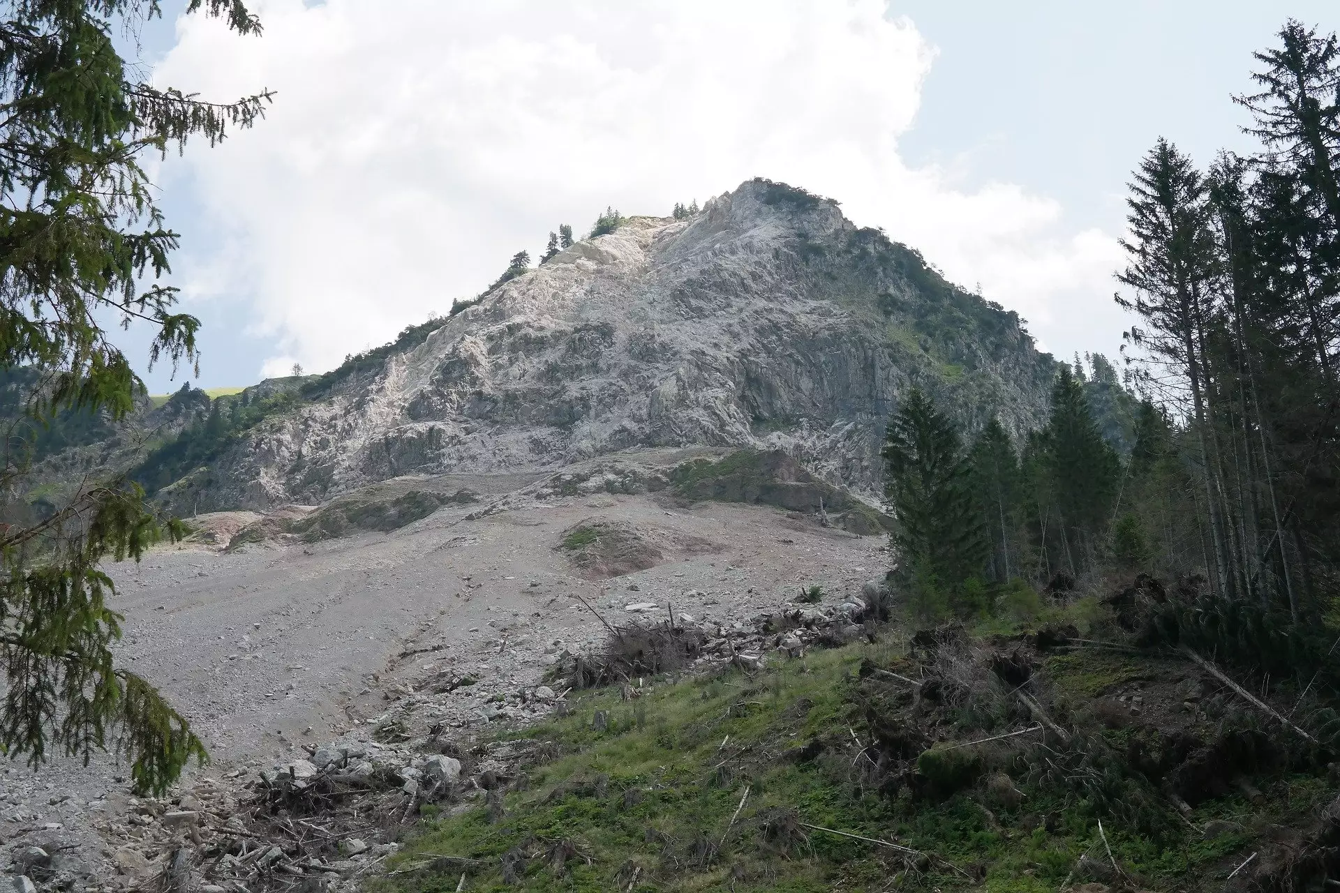
The Luding earthquake that occurred on 5 September 2022 resulted in over 6,000 landslides, causing extensive damage across more than 3,500 square kilometers of the region. Chen highlighted that while the number of co-seismic landslides was significant, it was not entirely unexpected given the region’s topography and history of seismic activity. The widespread destruction caused by the landslides provided valuable insights into the region’s risk profile, underscoring the importance of continuous monitoring and the development of improved prediction models.
Chen and his team developed an end-to-end GNSS prediction method for landslide prediction, starting with the construction of slip models based on GNSS offset and displacement waveform data. These slip models were then used in physics-based simulations to estimate peak ground velocity, which was subsequently integrated into a machine learning algorithm to predict the spatial distribution of landslides following the earthquake event. The researchers trained their prediction algorithm using data from six Chinese earthquakes with geological similarities to the Luding earthquake.
Moving forward, one potential avenue for enhancing the accuracy of landslide prediction could involve integrating GNSS observations with data obtained from low-cost accelerometers known as Micro-Electro-Mechanical Systems (MEMS). These MEMS-based sensors capture near-fault ground motion waveforms and have recently been incorporated into China’s national earthquake warning system. By combining GNSS data with MEMS observations, Chen and colleagues believe that the robustness and accuracy of landslide prediction models can be significantly improved, thus enhancing early warning capabilities and response mechanisms.
The study by Chen and his team underscores the potential of GNSS data in enabling rapid and accurate prediction of earthquake-triggered landslides. By leveraging advanced modeling techniques and incorporating complementary data sources such as MEMS observations, researchers can further refine their prediction models and enhance the timeliness and precision of landslide forecasts following seismic events. As our understanding of the interplay between earthquakes and landslides continues to evolve, the use of innovative technologies like GNSS holds great promise in mitigating the impact of natural disasters on vulnerable communities.
Leave a Reply