Recent research at the Technical University of Denmark (DTU) has led to the development of a groundbreaking method that enables the daily tracking of ice melt in Greenland. This innovative approach utilizes the movement of the bedrock beneath the melting ice sheet to measure the rate and amount of ice loss. This advancement marks a significant step forward in understanding the dynamics of ice melting in Greenland and its implications for global sea level rise.
By being able to measure the entire mass loss of the ice sheet on a daily basis, researchers can now capture sudden changes in ice mass loss that occur during the summer period. This daily tracking method provides a more accurate and detailed picture of ice melt in Greenland compared to previous methods, which only provided estimates on a monthly or yearly basis. The ability to monitor these changes in real-time allows for better predictions of future ice sheet melting and its contribution to rising sea levels.
Apart from its significance for climate change research, the new GPS-based method also has practical applications, such as warning residents in Greenland of potential risks associated with sudden ice melt. For instance, in 2012, extreme melting caused the collapse of a bridge in Kangerlussuaq, highlighting the need for improved monitoring systems. With the daily tracking of ice mass loss, authorities can now better anticipate and warn residents of such events, minimizing the risks posed by flooded rivers.
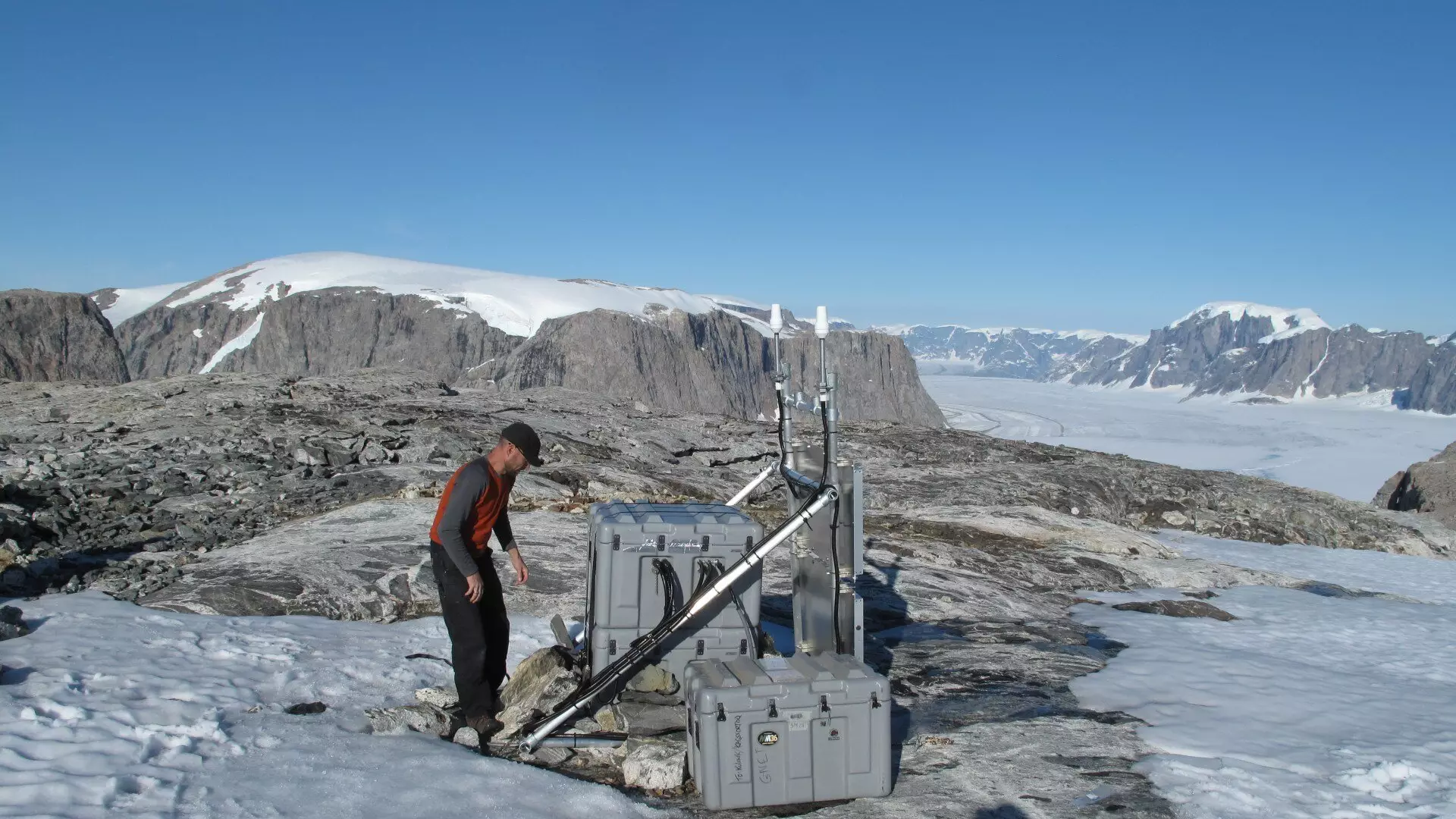
The measurements for this new method are taken using the Danish state’s GNET, which consists of 61 GNSS stations placed strategically around Greenland. The GNSS technology, which includes systems like the American GPS and the European Galileo, enables precise tracking of movements in the bedrock with sub-millimeter accuracy. The collaboration between DTU Space and DTU Computing Center has been fundamental in developing this innovative method, with the computing power of the DTU Compute center playing a vital role in analyzing the vast amounts of GPS data and running simulations for the project.
The development of a daily ice melt tracking method in Greenland represents a significant advancement in climate change research and monitoring systems. By leveraging the movement of the bedrock beneath the ice sheet, researchers can now measure ice loss more accurately and in real-time. This innovative approach not only enhances our understanding of the processes behind ice melting in Greenland but also has practical implications for warning systems and preparedness for extreme events. Overall, the collaboration between various entities and the utilization of advanced technology has paved the way for a more comprehensive and dynamic approach to studying ice melt in Greenland.
Leave a Reply