Extreme weather events are becoming increasingly common, with devastating consequences for the environment and human populations. A recent study conducted by researchers at Portland State University sheds light on the meteorology behind such events and their impacts. The study, published in the journal Weather and Climate Extremes, focused on a weather system that led to record-breaking cold temperatures and early-season snowfall in the Rocky Mountains, while simultaneously fueling devastating wildfires in the Pacific Northwest.
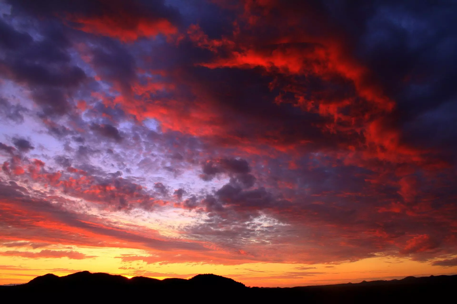
The primary atmospheric driver behind the extreme weather event was identified as a highly amplified wave pattern – the strongest on record for that time of year. This pattern persisted for several days, eventually breaking and bringing about a strong wind event over western Oregon. The combination of warm temperatures and dry easterly winds fueled several large wildfires, resulting in the evacuation of over 40,000 people, the destruction of 5,000 homes and businesses, and the loss of nine lives in Oregon.
The study’s lead author, Emma Russell, emphasized the unusual nature of the event, stating that even for winter, the wind event would have been considered very strong. The warm temperatures coupled with the intense wind added to the severity of the wildfires, exacerbating the fire danger in the region.
An analysis of air parcel backward trajectories revealed that the dry air over the Pacific Northwest originated in western Canada at heights over 5,000 meters. This dry air, as it descended to the surface, warmed up, increasing its dryness and further fueling the wildfires. Russell explained that understanding the source of the dry air is crucial in determining the factors contributing to the extreme weather event.
Read More: The Impact of Meta’s Decision to Stop Paying for News Content in Australia
The same weather system that brought warm temperatures to the Pacific Northwest also resulted in record-setting cold temperatures in parts of the Rocky Mountains, the Southwest, and the Great Plains. The shift from warmth to cold within a matter of days highlighted the intensity and complexity of the atmospheric patterns at play during the event.
According to Paul Loikith, an associate professor of geography at PSU, the confluence of record-breaking patterns was unprecedented, but it is uncertain whether events like these are becoming more common. However, one thing remains clear – the overall trend is towards warmer temperatures, indicating that even in extreme events, the warm side will continue to be warmer than before.
The research conducted by Portland State University provides valuable insights into the meteorological complexities of extreme weather events and their far-reaching consequences. By studying the amplification of wave patterns, the origin of dry air, and the interaction between warm and cold air masses, researchers can gain a better understanding of how these events unfold and how they may evolve in the future. As the climate continues to change, it is imperative that we improve our understanding of these phenomena to better prepare for and mitigate the impacts of extreme weather events on our environment and communities.
Leave a Reply